

















Description
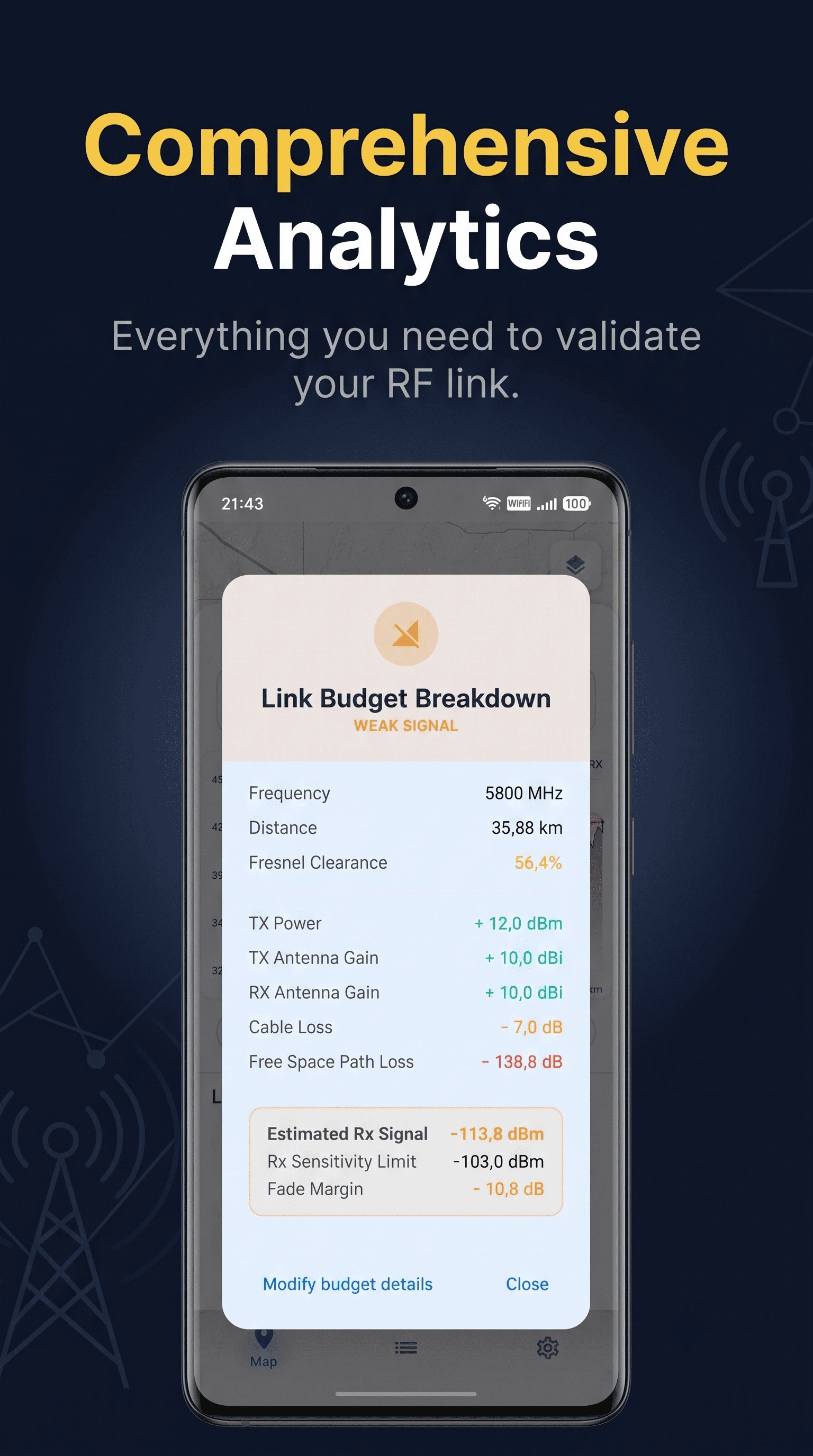
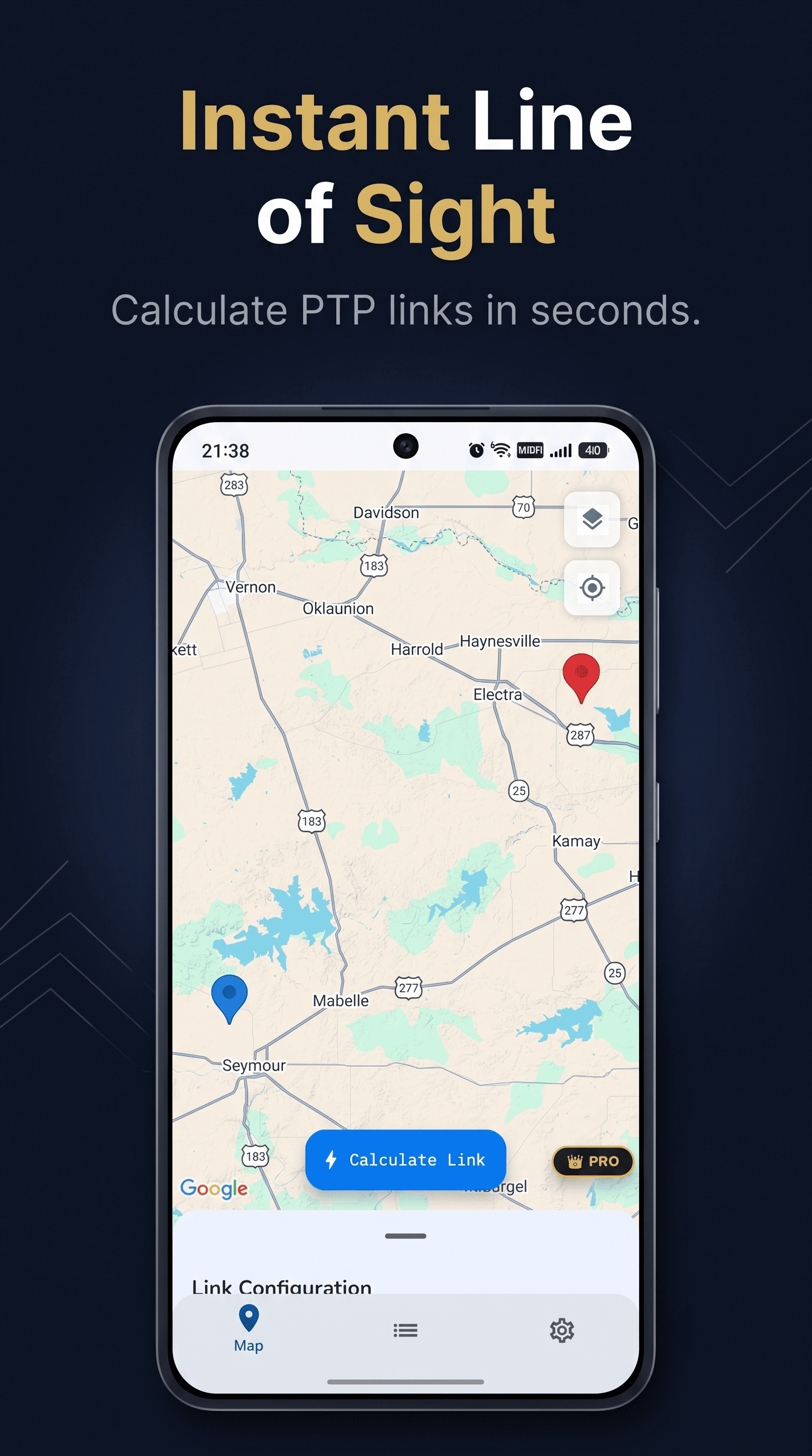
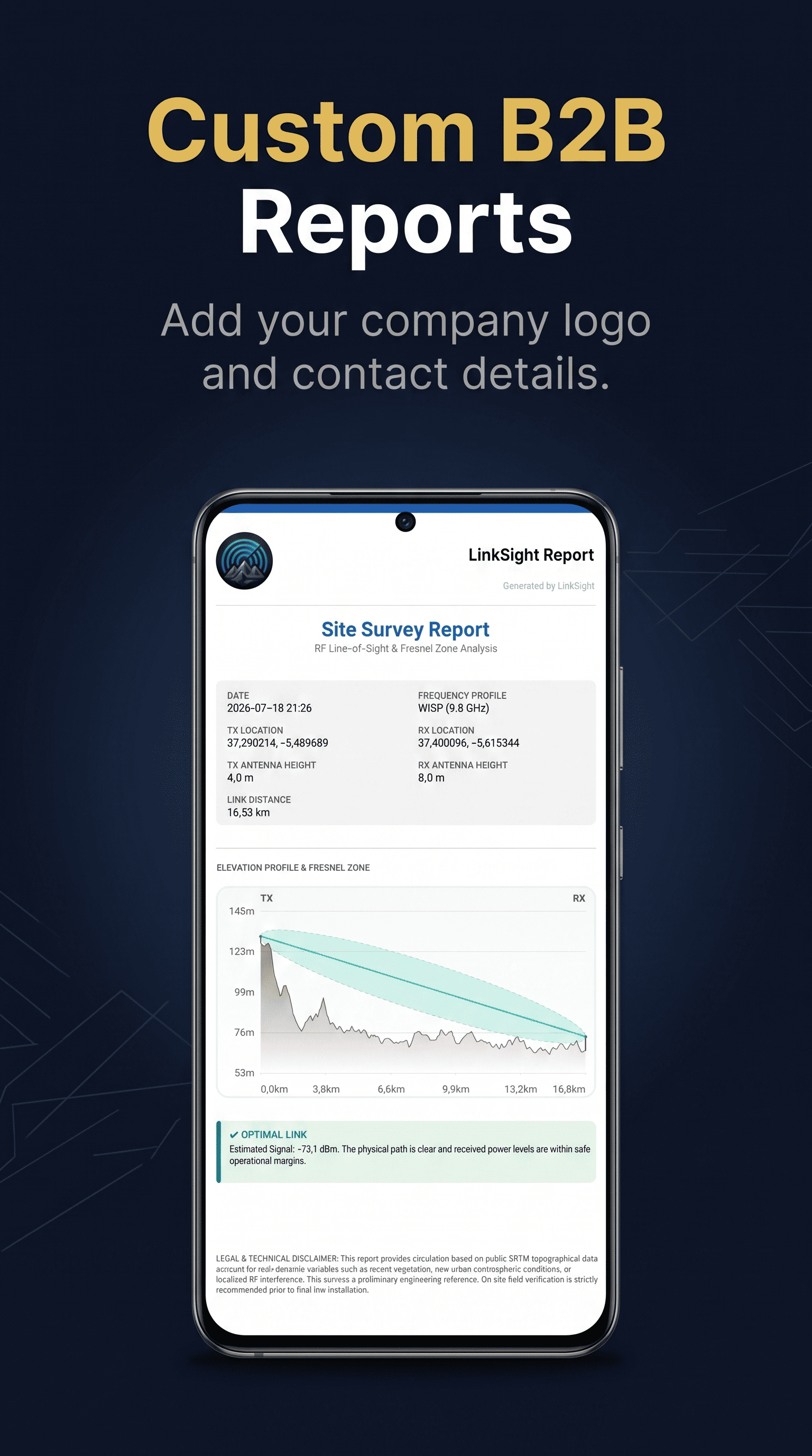
Planning long-range wireless networks, Meshtastic nodes, or flying FPV drones requires knowing if a mountain will block your signal. Until now, checking this in the field meant fighting with clunky, unoptimized web tools on your mobile browser. LinkSight is a native Android app built to solve this bottleneck.…
Preview
Highlights
- Instant Topographic Profiles
People also visit
Apps people often open alongside LinkSight.
LinkSight FAQ
What is LinkSight?
Planning long-range wireless networks, Meshtastic nodes, or flying FPV drones requires knowing if a mountain will block your signal. Until now, checking this in the field meant fighting with clunky, unoptimized web tools on your mobile browser. LinkSight is a native Android app built to solve this bottleneck.
Is LinkSight free?
LinkSight is freemium.
Do I need to download LinkSight?
No. LinkSight runs in your browser at linksightapp.com, so there's nothing to install.
What can you do with LinkSight?
Main features: Instant Topographic Profiles.
What are the best LinkSight alternatives?
Popular alternatives to LinkSight include Aegis Authenticator, Organic Maps and Lexington Themes. See all LinkSight alternatives